- HOME
- SYMPOSIUM & SEMINAR
- 69th IROAST Seminar
SYMPOSIUM & SEMINAR
69th IROAST Seminar-Deep Learning & Image Processing for CT data analysis of morphometric parameters in soil-held on December 13, 2019

Abstract
The workshop investigated the potential of machine learning and most specifically deep learning techniques to the understanding of soils characteristics and behavior from various scales and horizons (above-aerial, and inside -CT-scan) through three lecturers. The attendees could provide several perspectives of deep learning techniques applications to a range of problems and images notably:
i) in marine, forestry and farming environment from aerial perspective;
ii) for CT-scan image segmentation; in a multi-scale sensing and image analysis point of view;
iii) 3D morphological and textural analysis of voxels datasets
iv) Micro-Macro scale issue and its modeling
v) Deep learning+Computer Vision in the context of New Zealand environment
vi) Multi-Scale UAV Mapping of surface topographies
25 people attended and learned the basic of machine learning and deep learning. The workshop concluded with a broad panel discussion on the application of machine learning to the X-Earth center research areas and a focused discussion of a set of X-Earth-centric problems to engage as part of future collaboration.
 |
 |
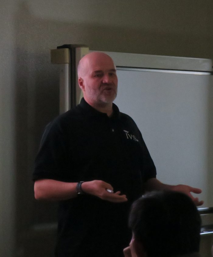 |
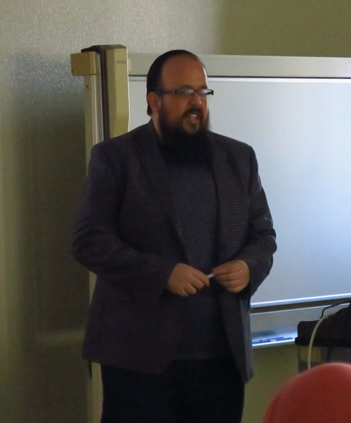
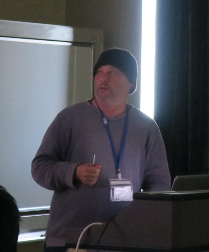
| Dr. Alronso Gastelum Strozzi | Dr. Trevor Gee | Dr. Patrice Delmas |
 |
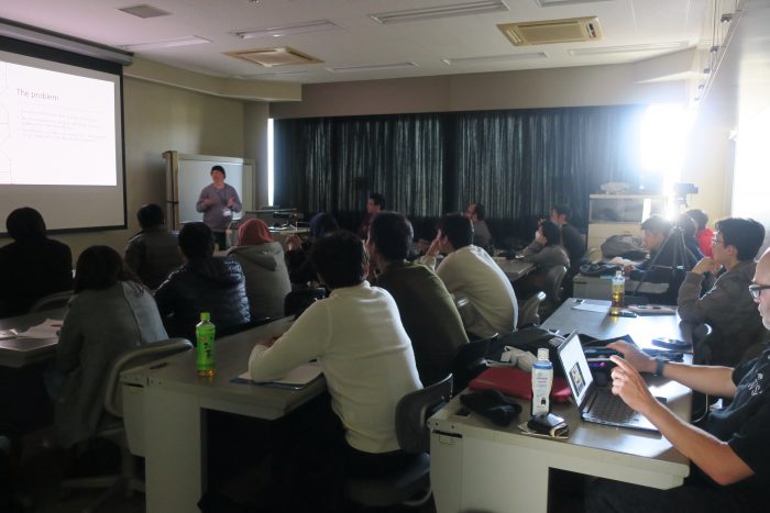 |
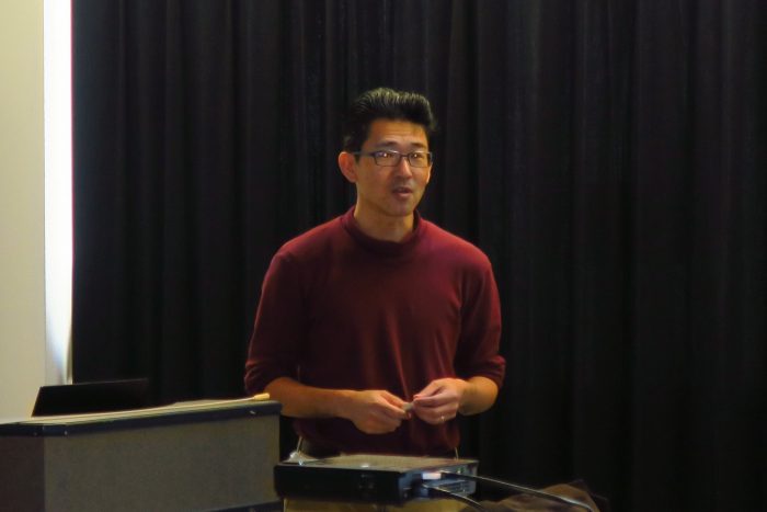
| Assoc. Prof. Toshifumi Mukunoki-Organizer | Audience |

